Bathymetric AR App
This post introduces my side project, bathymetric-cam. It is an iOS AR app that visualizes water-depth contours.
Motivation
Have you ever wanted to know the water depth on site?
That may sound a bit odd, but I have. For anglers especially, depth contours can be a hint for finding the target species. A depth contour is a line connecting points of equal depth on an ocean or lake floor. When the lines are spaced tightly, the bottom drops off steeply. Anglers call those spots drop-offs, and they matter when you are targeting species such as largemouth bass. Largemouth bass are also known for holding in deeper water when it is cold in winter. bathymetric-cam shows those contours in an AR view to help you find a better fishing spot.
Prototyping
Data Creation
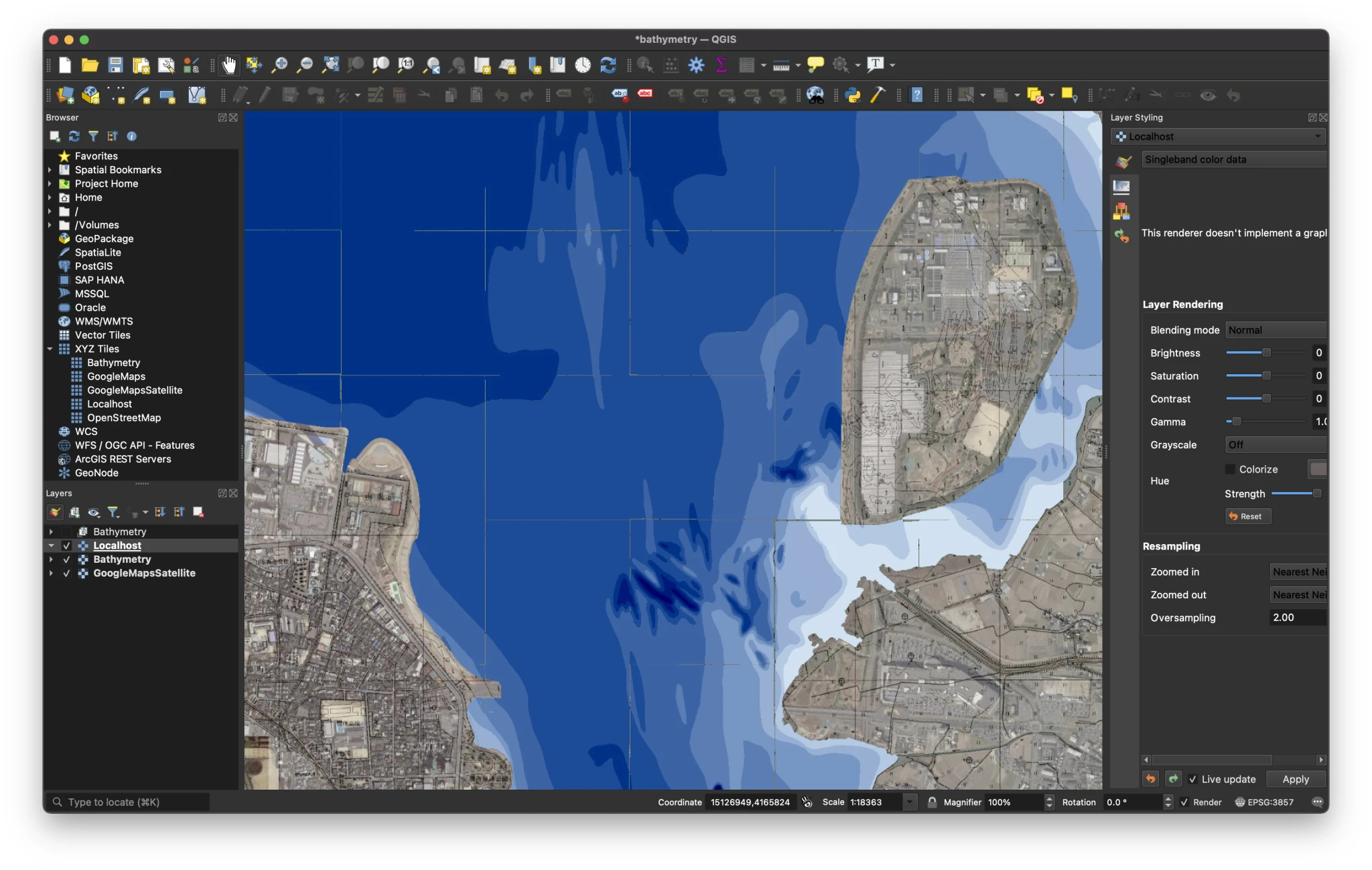
To visualize water depth, I first needed data for a proof of concept. I drew the depth-contour polygons by hand in QGIS, then exported a GeoJSON file per map tile using the slippy map tile system.
{
  "type": "FeatureCollection",
  "features": [
    {
      "type": "Feature",
      "properties": { "maxDepth": 2.0, "minDepth": 1.5 },
      "geometry": { "type": "MultiPolygon", "coordinates": ... }
    },
    ...
  ]
}
Then I wrote a script that converts those GeoJSON files into PNG map tiles. For example, the GeoJSON below becomes the tile image next to it.


I ended up drawing part of the south lake of Lake Biwa. Manual labor is definitely not for a lazy programmer…
The PNG files are uploaded to a CDN, which works as a simplified map-tile server.
iOS app
The prototype is a simple AR app with a rounded map at the bottom. When you turn the iPhone camera, the map turns with it, so the AR view and the map face the same direction. Both render the same tiles from the tile server. A slider sets the altitude of the water surface. The camera is the anchor; the water surface sits X meters below it.
What’s next
Honestly, I am still deciding what to improve next. The jaggy tiles do not look great. There are other ways to visualize depth contours, and more information that would help you find a better spot: air temperature, water temperature, weather, wind, current, catch history, and so on.
I want to go fishing at Lake Biwa and see how the app works in practice, but for now I am avoiding public transit because of the pandemic. I miss fishing there.